Know where the meadow is before the boat goes out.
Annual seagrass extent layers from satellite imagery, to plan your dive transects and baseline around. We are looking for agencies to pilot it on one bay or estuary.
- GSD
- 0.5–2 m
- Cadence
- Annual
- Platform
- High-res satellite
- Spectral
- Multispectral
- Meadow extent
- Estimated extent
- Depth contour
- Planned transect
Schematic. Not drawn from real imagery.
How the meadow edge gets drawn today
You are putting together the baseline for a protection zone, or for a blue-carbon project that needs to say how much seagrass is there before anything is done to it. The habitat map you start from is a compilation. There is a broad-scale benthic layer from an older programme, diver transects from past monitoring, a handful of drop-camera points. Between those points, somebody drew the meadow edge by eye.

The proper fix is a survey season: boats, divers, towed cameras, weeks of weather windows. It is the right way to verify a meadow and nobody here is suggesting otherwise. But it is slow and expensive to point at the whole zone, so the team places a limited number of transects using the map it already has. Some come back through healthy canopy. Some come back over bare sand. In the worst case the zone boundary goes into a consultation draft and a local diver mentions a bed just outside it.
An annual multispectral pass over the water gives you a first view of where the meadow is, drawn from above, before the transects are planned. It does not replace the divers. It tells them where to go first, and it gives next year's survey a picture to be compared with.
What the pilot would deliver
This is an early-access capability. What follows is what we are building the pilot around, and the shape of it is open to what your agency needs.
- 2.1
Meadow extent layer
GeoPackage or shapefile
A polygon layer of submerged seagrass extent for your bay, estuary or zone, from one annual pass timed to a clear-water window. The scene date is stored on the layer so you know which day it shows.
- 2.2
Relative canopy-density classes
Attribute on the extent layer
Each meadow polygon carries a relative density class, such as sparse or dense. These are classes for ordering and planning, not a percentage cover figure, and they need checking against your own transect data.
- 2.3
Baseline image
GeoTIFF
The image the layer was mapped from, kept so next year's pass can be compared with the same view of the same water.
- 2.4
Map key for your report
PNG or vector legend
A legend and a short baseline note describing the scene, the water conditions on the day and the places the layer is least reliable, ready to go into a survey plan or baseline report.
How a pilot runs
Send the area
A boundary for the bay, estuary or protection zone as a shapefile or GeoPackage. Tell us what the layer is for: a baseline, a designation, or a carbon project design.
Imagery
We look for a high-resolution multispectral pass in a clear-water window over your area. If the water was murky all season, we tell you so, rather than map through it.
Analysis
Seagrass extent and relative density are classified from the spectral response of the seabed, then reviewed by a person against the image.
Delivery
The extent layer, density classes, baseline image and a short baseline note, in formats that open in QGIS or ArcGIS.
Plan the field season
You use the layer to place dive transects and sediment-core plots. What the divers find goes back into your own baseline, and into the pilot.
Limits
These are the ways a satellite seagrass layer can mislead you. The baseline note flags where they apply to your scene.
- Note 1
Water clarity sets the depth
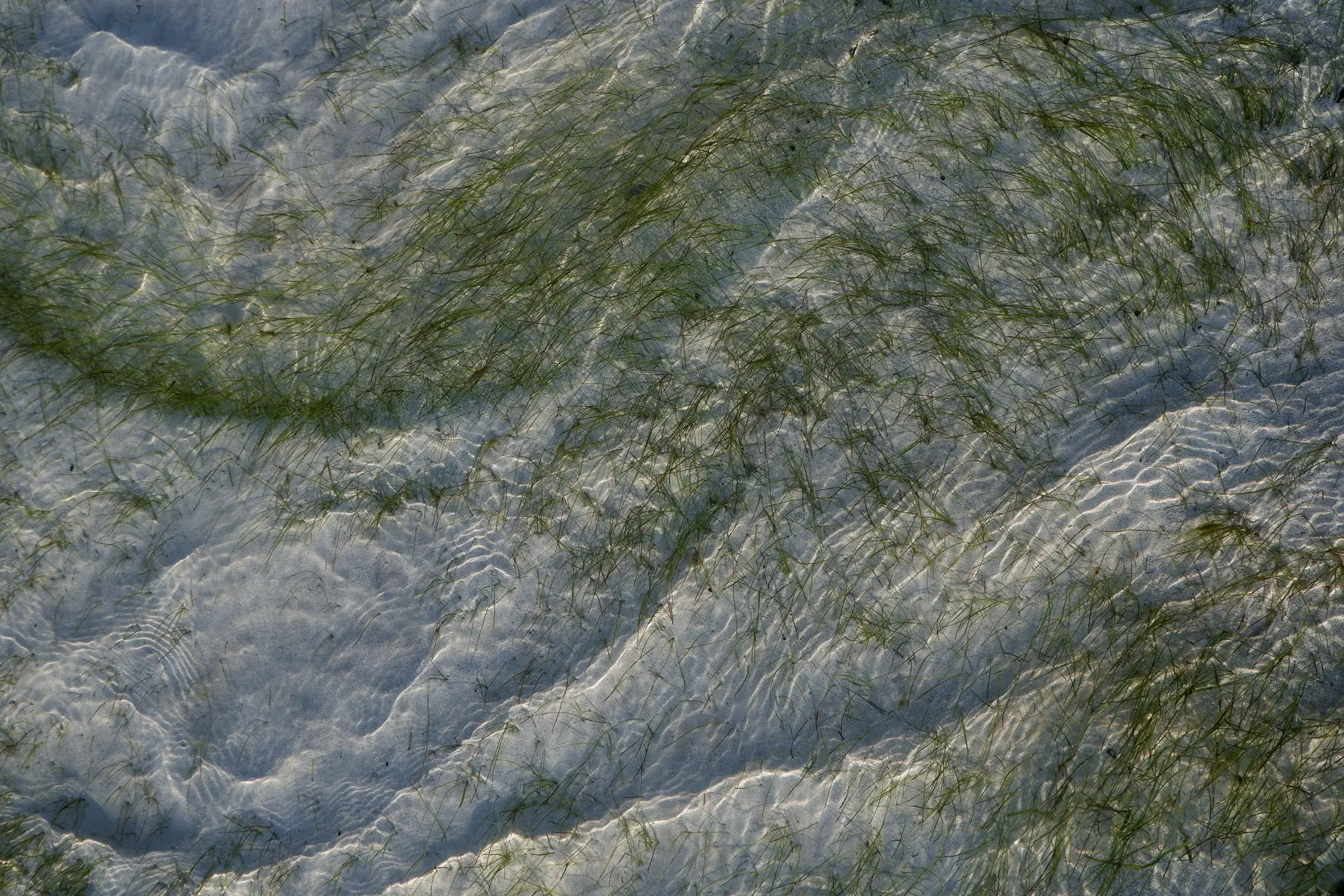
Optical imagery sees the seabed only through the water. In turbid water, or after a storm or a bloom, the bottom disappears. There is no fixed depth limit we can promise. It changes with the water on the day.
- Note 2
A clear-water window may not come
Some seasons have no usable pass over a given estuary. In that case there is no layer for that year, and we say so.
- Note 3
0.5–2 m is the floor
A small patch, or a thin fringe at the meadow edge, may cover only a few pixels and can be missed or drawn too wide. Sparse seagrass mixed with sand is hard to tell from sand.
- Note 4
Other things look like seagrass
Macroalgae, dark rock and shadowed seabed can resemble seagrass from above. Where we can't tell, the layer says so rather than guessing.
- Note 5
Density is relative
Density classes order the meadows from sparse to dense. They are not a measured percentage cover or biomass.
- Note 6
No validated accuracy yet
We do not have an accuracy figure for this workflow. Establishing one against your transect data is part of what a pilot is for.
Who it's for
- Marine spatial planners and habitat officers at marine agencies who need a meadow extent for a baseline or a protection zone.
- Blue-carbon project teams that need to know where the seagrass is before they design field sampling.
- Agencies willing to pilot on one bay or estuary and share ground-truth data from it.
Who it's not for
- Teams that need a validated survey in place of divers or cameras. This is a planning layer and sits ahead of them.
- Carbon stock or credit estimates. This maps extent and relative density only.
- Real-time or monthly monitoring of water-quality or bloom events. This is an annual pass.
- Deep or permanently turbid waters, where optical imagery can't see the bottom.
Questions from agencies
Can this replace diver ground-truthing?
No. It is a planning and baseline layer. Density classes in particular need checking against your own transects.
Does turbidity affect the result?
Yes. The map depends on a clear-water window, and murky periods reduce what is visible. We say which parts of the layer are least reliable.
How deep can it see?
It depends on the clarity of the water on the day, so we can't give you a fixed depth.
What accuracy can I expect?
We have no validated figure yet. A pilot is how we find one with you, using your transect data.
Is this available everywhere now?
No. It is early access, and we are working with agencies on one site at a time.
How do we check it against our own survey data?
Send your transect and drop-camera points with the area. They can be laid over the layer so you can see where it agrees and where it doesn't.
What do we receive, and who owns it?
The layers come in GIS formats you can open in your own software. Use and ownership terms for what we deliver are set in the pilot agreement. The satellite archives keep their own licences.
How is a pilot priced and agreed?
Each pilot is scoped on its own, by area and by what the layer is for. You get a written scope you can take through your agency's procurement. We don't publish a price.
Pilot one bay with us.
Tell us the bay or zone, and what the layer would be used for.Or.