Field notes: what a spring low tide showed us about a meadow edge
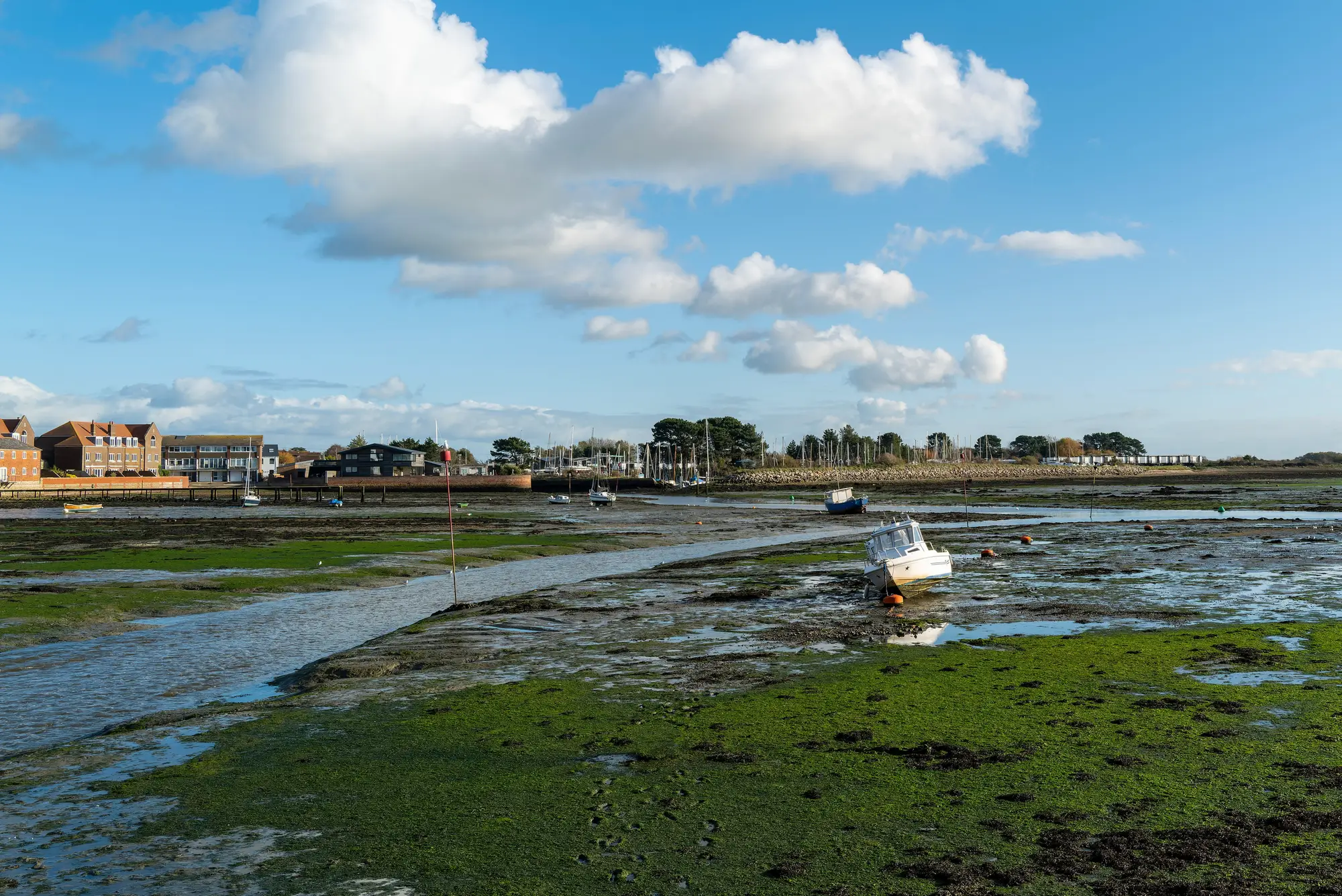
We'd been watching the tide tables for three weeks before the window opened. A big spring low, the kind that only lines up with a weekday and decent light a handful of times a year, was due to drop the flat out past the eelgrass line by almost a meter below chart datum. We cleared the calendar for it the day the forecast firmed up.
The bay in question has a meadow we'd been trying to bound for a habitat baseline, the kind of job where someone eventually has to draw a line on a chart and say "seagrass starts here" with enough confidence to put a protection boundary behind it. Up to that point our best edge was a soft one, feathered out over fifteen or twenty meters where turbidity and depth made the call ambiguous from the boat. You could see where the meadow was obviously present and where it obviously wasn't, and a wide, unsatisfying band in between where you were guessing.
At minus tide, none of that ambiguity survived. We walked out across mudflat that's normally under a meter and a half of water, and the meadow edge was just there, a ragged but genuinely findable line where turf gave way to bare sediment. It was a sharp line, not the long smeared transition we'd been drawing from the boat. We paced it with a handheld GPS for about four hundred meters before the tide turned and started pushing back in faster than any of us wanted to be standing in waders.
What struck me, walking it, was how much that edge moved around relative to where we'd guessed from the boat work. In two stretches it tracked close to our estimate. In one, it cut inland by a good margin where a sand lobe had apparently pushed the meadow back since the last time anyone had eyes on that stretch. No dive survey had covered that particular run of shoreline in a long while, because it's shallow and awkward and nobody prioritizes the boring middle of a bay when there are deeper, more interesting beds to check first.
That's the thing about these tide windows. They're a gift, but they're a narrow and unreliable one. You get maybe a handful of days a year where the water drops far enough to expose an edge on foot, and the ones that line up with calm weather and a crew that's free that day are rarer still. You can't baseline a whole bay on king tides. You can barely baseline one transect on king tides. What they're good for is ground-truth: a few hundred meters of hard, walked-it-myself data that tells you whether the broader picture you're building from imagery or acoustic survey is reading the meadow correctly or quietly drifting off in the shallows where boats don't go.
Which is really the argument for not relying on the tide to do your boundary work for you. The sand lobe that pushed the meadow back on our transect didn't wait for a king tide to do it, and it won't wait for the next one before it moves again. A pass that covers the whole bay in one go, rather than the strips a crew can wade or the sections a dive team can reach in a day, is what catches that kind of drift before it's a surprise. We've started feeding our walked transects into a multispectral pass over the bay as a check on the annual extent layer, which is more or less what Seagrass Mapping's early-access workflow is built around.
I still went back on the next good spring low. Partly for the data, partly because walking a meadow edge on foot, with your boots in the mud and the whole flat exposed for an hour, is one of the better ways to spend a Tuesday in this job.
If your bay has a stretch of meadow nobody's checked on foot in a while, it might be worth seeing what a year of satellite passes over it would show.