Field notes: the week a dugong herd ate through our baseline meadow
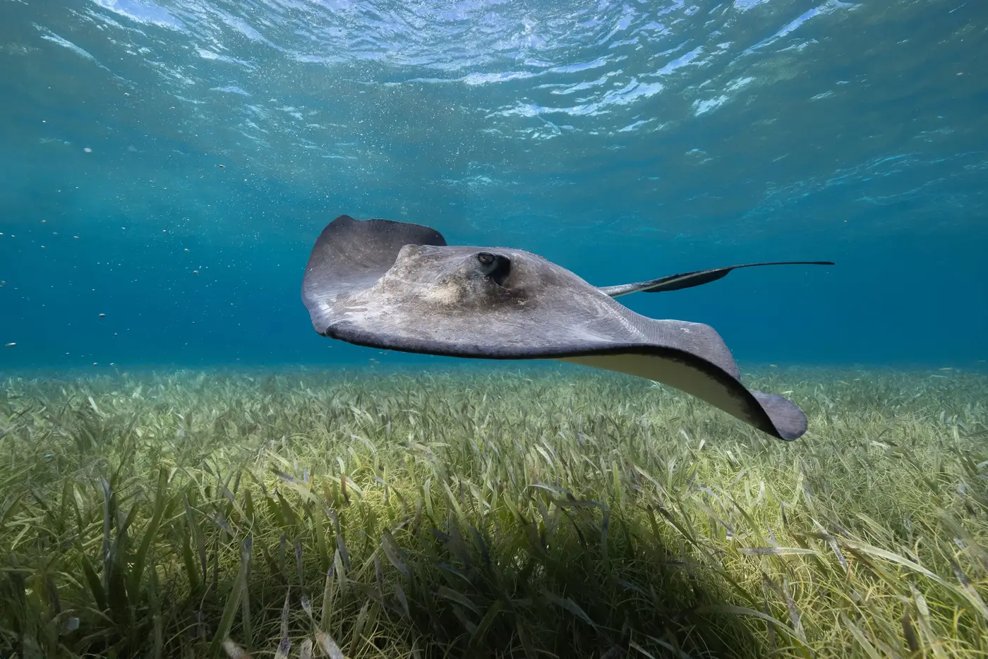
A colleague who runs baseline surveys for a state blue-carbon program told me this story at a conference bar last month, and I haven't stopped thinking about it since.
Her team had scheduled a full week on a shallow bay, the kind of site everyone agrees is "textbook" seagrass habitat: clear water, gentle slope, a long history of Halodule and Halophila beds showing up in old aerial photos. Walk the transects, log percent cover, establish the extent and density numbers that would anchor five years of carbon accounting, then go home. Day one, dive in, and most of the meadow looks like a lawn after a bad mowing job. Cropped to the rhizome mat in long curving swaths. A dugong herd, maybe eight or nine animals working together, had moved through two weeks earlier and eaten their way across a third of the bay.
Dugongs (and green turtles, which do something similar on a smaller scale) have been cultivation-grazing seagrass for longer than anyone has been baselining it. The grazing trails they leave show up throughout the literature as a normal feature of healthy meadows. Cropped shoots regrow fast in the right conditions, sometimes within four to six weeks, and some researchers think the grazing actually stimulates denser regrowth by opening the canopy to light. What her team found was a meadow mid-recovery from something that happens most years.
But none of that helps if your baseline number gets logged on the wrong week.
If you survey a grazed patch and call it the extent, you've understated the meadow by a chunk that will grow back in a month. If you survey it again next year and the grazing happened to land somewhere else that season, your year-over-year comparison shows "growth" that's really just a dugong herd eating a different corner of the bay. Either way, the number you hand to the agency isn't wrong exactly, it's just a single frame pulled from a process that moves faster than an annual dive schedule can track.
This is the part of seagrass work that doesn't show up in the method papers: timing a ground survey against an animal you can't schedule around. You can pick your tide window, your weather window, your staffing window. You can't pick the week a dugong herd decides your bay looks good. The best a dive team can do is note the grazing scars when they see them and flag the patch as "actively recovering" rather than "extent lost," which is honest but adds a layer of judgment call to a number that's supposed to be a baseline.
It's one of the reasons a wider look at the bay before you commit the dive team to specific transects is worth the extra step. A pass that covers the whole water body at once, even at coarser resolution than an in-water survey, at least shows you where the grazing trails sit relative to the rest of the meadow, so the dive team isn't mistaking a temporary scar for permanent loss, or missing one entirely because the transect lines happened to run around it. We built the approach we describe on the Seagrass Mapping homepage around exactly that kind of problem: giving a planning team a sense of where a meadow sits before boots get wet, so the dive data gets interpreted against the right context instead of standing alone.
My colleague's team adjusted the baseline write-up to note the grazing event and re-surveyed the cropped sections eight weeks later, once regrowth was visible. The final numbers were fine. But she said the thing that stuck with her wasn't the data, it was realizing how much of a baseline depends on which week you happened to be standing in the water.
If your own baseline is still ahead of you, it's worth getting a wider view of the bay before you lock in where the transects go.