Setting a baseline year for a seagrass blue carbon project
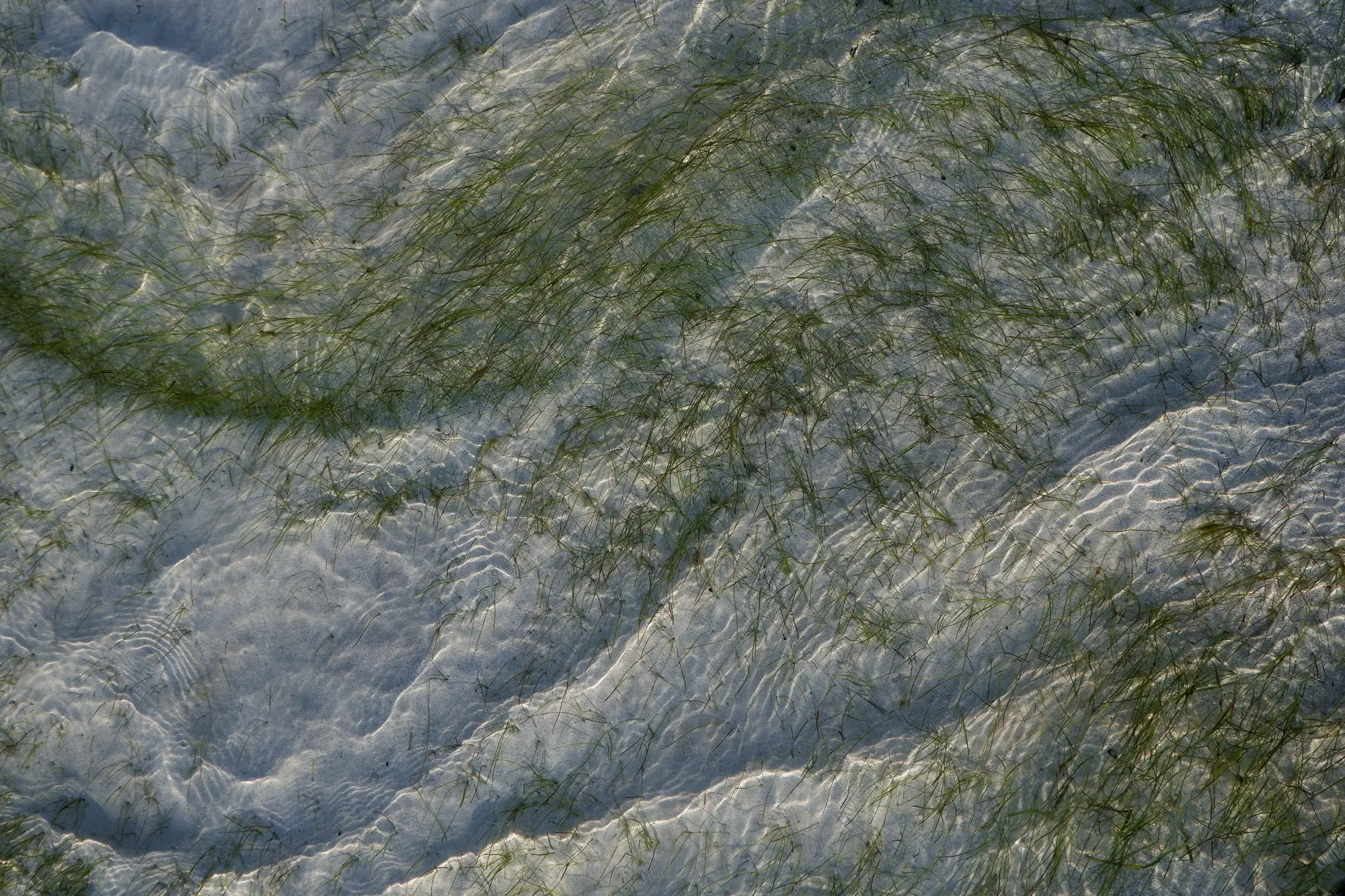
Every blue carbon methodology asks for the same thing before it asks for anything else: a baseline. It's a dated, defensible snapshot of what the meadow looked like before the project activity (restoration, protection, a new no-anchor zone) started changing it. Get the baseline wrong and every number you report after it is measuring against a line that was never really there.
Some agencies set up the monitoring plan first and leave the baseline year as the thing to backfill once a survey crew happens to be scheduled. That ordering causes problems later: the baseline is the one decision in the whole MRV chain you don't get to redo. Pick a bad year, or pick the right year but fail to show your work, and a verifier will send you back to start over, often after the window to collect contemporaneous data has closed.
Why the baseline year is the one decision you can't redo
A baseline year has to do two jobs at once. It has to represent the meadow in a condition that predates your intervention, and it has to hold up years later when a different team, possibly a different agency, comes back to verify the carbon claim. That second part is where most baselines fall apart. The field notes are thin, the imagery used was a one-off commercial tasking nobody kept the metadata for, or the "pre-project" survey was actually done eight months after the restoration crew was already in the water.
Pick a year with a paper trail. If you have a dive survey, a drop-camera transect, or a prior remote sensing pass that covers the full project boundary and predates any activity, that's your candidate. If you don't have one yet, the honest answer is that your baseline year is this year, and your job is to document the current extent as carefully as if a verifier were looking over your shoulder as you do it.
What the baseline needs to hold
Methodologies vary, but reviewers are consistently checking for the same handful of things:
- A clear date, not a season or a year range.
- The full project boundary, not a sample of it. Partial coverage invites the question of what's missing and why.
- Extent at minimum. Density or canopy condition if you can get it, because loss of density ahead of loss of extent is often the first sign a meadow is under stress.
- A method you can repeat. If the baseline came from a dive team with a particular transect protocol, your next monitoring round needs to use something comparable, not a different tool that happens to produce a different number for the same meadow.
That last point is the one agencies underestimate. A baseline survey that can't be repeated at the same spatial scale isn't a baseline. It's a one-time photograph. The whole point of MRV is the comparison between rounds, and a comparison only means something if both sides were measured the same way.
Timing the pass
Seagrass extent moves with the season in a lot of estuaries, so the calendar matters almost as much as the year. A baseline pass taken during peak biomass will read as a healthier meadow than one taken in a die-back month, even if nothing about the meadow itself has changed. Pick a window that represents typical growing-season condition for your coast, and commit to surveying the same window every year after, so year-over-year change reflects the meadow and not a seasonal artifact.
This is the part of the workflow we're building an annual multispectral pass over coastal waters into: one dated layer showing meadow extent and relative density for a bay or estuary, captured on a repeatable annual cadence rather than whatever window a dive team could get into the water. It's early access, built for agencies willing to pilot the approach on one site first rather than treat it as an off-the-shelf tool.
If your agency is scoping a baseline year right now and wants a second set of eyes on the extent layer before it goes into a methodology submission, that's exactly the conversation to have with us.