Propeller scarring and why it belongs in your seagrass baseline
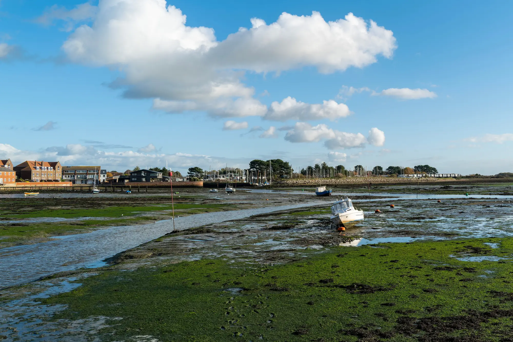
Walk a boat channel edge at low tide in any seagrass bay and you'll find them: bare, linear scrapes cutting through an otherwise continuous meadow, usually running in a straight line or a tight arc where a hull drafted too shallow. That's propeller scarring, and if you're building a habitat protection zone baseline, it's one of the first things a field crew or an aerial pass should be flagging.
What a prop scar actually is
A propeller scar forms when a boat's prop, skeg, or lower unit contacts the bottom in shallow seagrass and shreds the rhizome mat along with the blades. Unlike grazing or natural die-off, which tends to look patchy and irregular, scarring reads as geometry: straight cuts, parallel tracks from repeated passage, or a herringbone pattern where multiple vessels have cut across the same flat over years. In Florida Bay and similar systems, these scars are old news to resource managers. What's newer is agencies trying to quantify how much of a protection zone's total meadow area is already compromised before they set a baseline against which future loss or recovery gets measured.
Boat strike scarring seagrass isn't a cosmetic problem. The rhizome mat is what holds the sediment in place and stores the carbon that makes seagrass meadows a blue-carbon asset in the first place. Cut through it and you've opened a channel for erosion, turned a seagrass bed into a sand scar that widens with every tidal cycle, and in some cases fragmented a meadow into patches too small to support the species that use it for nursery habitat. A scarred flat doesn't just lose the grass inside the scar. It loses edge-effect productivity around it too.
Why recovery time matters for your baseline
Here's the part that trips up a lot of baseline work: prop scar recovery time isn't fast, and it isn't uniform across species. Thalassia testudinum (turtle grass), the slow-growing, rhizome-dependent species common across the Gulf and Caribbean, can take a decade or more to recolonize a deep scar, and some scars documented in the 1950s and 60s in Florida Bay still haven't closed. Faster-growing species like Halodule wrightii (shoal grass) can pioneer a scar within a couple of growing seasons, but that early recovery often doesn't hold if boat traffic in the same channel keeps reopening it.
That spread in recovery time is exactly why "scarred" can't just be a yes/no flag on your habitat map. A protection zone baseline that lumps a two-year-old shoal grass scar in with a sixty-year-old turtle grass scar is going to misread both the current condition of the meadow and its trajectory. What a baseline actually needs is extent and relative density over the whole zone, repeated on a consistent cadence, so a scar that's healing shows up as a density gradient rather than disappearing from the record entirely.
Building scarring into a zone-wide baseline
Most agencies start scar tracking with dive transects or shallow-draft boat surveys, and those are the right tool for ground-truthing a specific flat or documenting a scar for an enforcement case. They're a much heavier lift for covering an entire protection zone every year, which is usually what a baseline requires if you want to show a regulator or a funder that meadow condition is being tracked consistently over time, not just spot-checked where someone happened to notice damage.
That gap, between what a dive team can realistically cover and what a zone-wide baseline needs, is the problem an annual multispectral pass over the whole bay is built to close. Seagrass Mapping turns that pass into a map layer showing meadow extent and relative density across the zone, giving a planning team a consistent year-over-year reference to check new or widening scars against, without re-surveying every flat by hand.
If you're scoping a habitat protection zone baseline and want scarring and meadow extent on one annual layer, get in touch about piloting it on your bay.