What is seagrass wasting disease, and why can't satellites diagnose it?
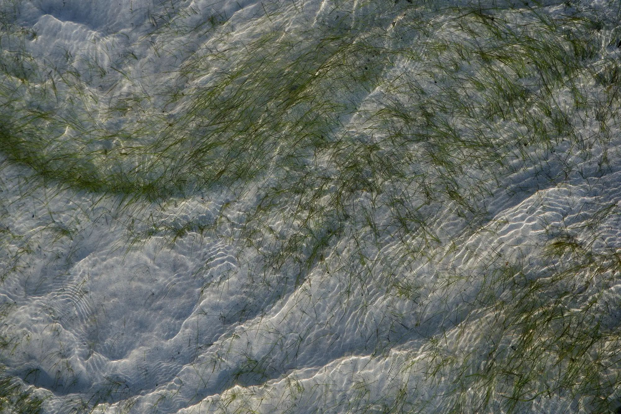
If you've spent time around eelgrass beds, you've probably heard the name Labyrinthula zosterae tossed around with a certain amount of dread. It's the slime mold-like protist behind wasting disease, the same pathogen that wiped out something like 90% of Atlantic eelgrass in the 1930s and that still shows up in meadows from Maine to Puget Sound. It hasn't gone away. It just waits for conditions to tip in its favor.
How wasting disease actually kills a meadow
The disease shows up first as dark, often black or brown, lesions running along the blade. Under a scope you can see the pathogen's spindle-shaped cells colonizing the tissue. As lesions spread, the blade loses photosynthetic area, starts to necrose, and eventually the whole shoot can die back. Warm water stress, low light, and crowded, nutrient-rich meadows all seem to make eelgrass more vulnerable. It's not purely opportunistic though. Labyrinthula zosterae is present in healthy meadows too, at low levels, and it's the combination of pathogen load plus a stressed host that tips things into an outbreak.
This matters for anyone running a baseline survey, because wasting disease is one of several things that can produce the same end result on a map: thinning canopy, patchy die-back, shrinking bed margins. Nutrient loading, turbidity from dredging or runoff, heat stress, physical disturbance from boat traffic or anchoring. They all leave similar footprints at the scale most of us are actually working at.
What a multispectral pass can and can't see
Here's the part that trips people up. High-resolution satellite imagery, even at 0.5 to 2 m ground sample distance, is looking at reflectance patterns across a pixel that covers a patch of meadow, not a single blade. Wasting disease lesions are centimeter-scale marks on individual leaves. No commercial multispectral sensor is resolving that, and even if it could get close spatially, the spectral signature of a diseased blade sitting next to healthy blades in the same pixel just blends into an averaged reflectance value. You're not going to pull a pathogen signal out of that, full stop.
What you can pull out is change in extent and relative density over time. A meadow that's thinning from wasting disease, from nutrient stress, from turbidity, or from physical loss will generally show reduced canopy cover, lower density readings, or a receding edge on an annual pass. The satellite layer flags where something is happening. It doesn't tell you what's causing it, and anyone who claims otherwise is overselling a sensor's spectral resolution.
So what's the layer actually good for
For blue-carbon baselines and habitat protection zones, that distinction turns out to be useful rather than disappointing. You can't send a dive team to survey an entire estuary every year, and you don't need to if you have a way to see where the meadow has changed since last season. An annual extent and density layer like the one we're piloting at Seagrass Mapping gives a spatial planner a reason to prioritize field verification: send the divers to the patches that lost density or edge area, not the whole bay. If those field crews come back with lesion samples and confirm Labyrinthula zosterae, that's a diagnosis the imagery helped route them toward, not one it made on its own.
It's worth saying plainly that this doesn't replace the pathology work. A confirmed wasting disease diagnosis still needs a blade sample, a microscope, and someone who knows what spindle cells look like. What the imagery changes is how you decide where to look first, especially across a large estuary or a multi-site blue-carbon project where every dive hour is budgeted against a grant cycle.
If you're scoping a baseline for a bay or estuary and want to see what an annual extent and density pass could flag before your next field season, we're taking on a small number of pilot sites to build this workflow out properly.